
Page 24 - Green Knowledge 2020
P. 24
The digital forest maps have now been updated to cover more than 95% of Norway’s forest area. The maps provide a new and much more detailed and comprehensive picture of Norwegian forest resources than has previously been possible.
Many people in public administration at county and municipality level currently use the AR5 map system which has now been updated with new forest data.
Digital forest map services are needed to improve critical public infrastructure such as power supply and fire preparedness. The Norwegian Water Resources and Energy Directorate (NVE) wants to gain knowledge about how much and what kind of forest is growing along the power line corridors. NIBIO has also been working with the Directorate for Civil Protection (DSB) to ensure that they will be
able to use the information in the SR16 maps to prevent and fight forest fires, for example through new and improved maps that visualize fire risk in the forest.
The free to use map service also provides the Norwegian forestry industry with great opportuni- ties. Data from aerial laser scanning gives highly accurate three-dimensional information about the forest’s structure that is then combined with color information from the Sentinel-2 satellite to create a comprehensive map of the forest. SR16 will be updated annually and will continue to be developed through the addition of more features.
The SR16 forest resource map has been established as part of Norge Digitalt and is available from Kilden and for download on Geonorge.
Photo: Erling Fløistad
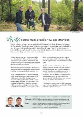
Forest maps provide new opportunities
The SR16 forest resource map provides detailed information about the forest in Norway. SR16 stands for “SkogRessurskart” (forest resource map), on which the pixel size (grid) is 16 x 16 meters. It is based on a combination of the National Forest Inventory’s ground- based field sample plots and remote sensing data. It includes information on tree species, biomass, stand age and other forest characteristics.
Goal: Collaboration:
Contact:
Digital forest maps providing a detailed and comprehensive overview of Norwegian forest resources.
Viken Skog, NORSKOG, Norwegian Geotechnical Institute (NGI), Norwegian Water Resources and Energy Directorate (NVE), Norwegian Agricultural Extension Service
Research Professor Johannes Breidenbach. Email: johannes.breidenbach@nibio.no, mobile: +47 974 77 985. Division of Forest and Forest Resources
Senior Engineer Bjørn Borchsenius. Email: bjorn.borchsenius@nibio.no,
mobile: +47 410 71 073. Division of Survey and Statistics
22
